Check the areas below before setting off, then open the project or official notice for the detail. The map brings together selected, verified changes around the R132, Seatown–Estuary and North Street.
YOUR JOURNEY / THE LOCAL PICTURE
Know what is changing.
Choose a work area to see what it means for your journey.
R132 · Estuary junction
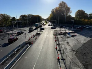
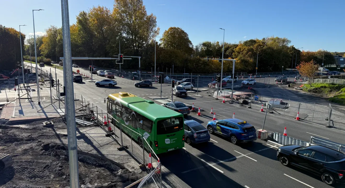
The lights are operating while finishing work and line-marking adjustments continue. Cycle tracks are being surfaced at Estuary and Seatown. Use signed crossings and allow for temporary lane restrictions.
Construction bulletin: 13–27 November. Temporary single-lane sections may operate outside peak hours, 10am–4pm, as required.
Checked 13 November 2026 · Official sourceR132 · Seatown junction
Drainage, kerb, footpath and cycle-track works continue. The November route leaflet sets out changed journeys from Old Seatown Road via Estuary Road; open the tracker for the northbound and southbound routes.
Signals now planned for the week beginning 23 November, a week later than the previous programme. The November route leaflet gives no separate start date for the exit restrictions.
Checked 13 November 2026 · Official sourceR132 · Malahide Road / Pavilions
The roundabout is included in the approved signal-controlled junction scheme. This marker identifies the planned conversion, not a newly confirmed road closure.
No separate activation or completion date confirmed in the sources checked.
Checked 10 November 2026 · Recheck due · Official sourceNorth Street · Cultural Quarter
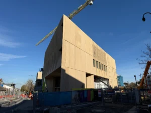
North Street remains northbound only; southbound traffic is diverted. From 7pm on 19 November, the council plans a straight northbound route along the east side past Leader House, removing the diversion around the courthouse, and the return of three parking spaces. Pedestrian access to premises and the route through County Hall grounds continue.
Council update published 19 November: revised arrangements scheduled after hours from 7pm that evening; actual implementation not yet independently confirmed. The 16–29 November programme continues, with Seatown Road works scheduled through February 2027.
Checked 19 November 2026 · Official sourceSeatown–Estuary · walking-route works
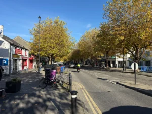
The council’s current 16–20 November notice lists the south-side footpath between the IDA and Estuary Road roundabouts as closed for ducting, kerb and footpath works. The alternative uses the new north-side footpath. Two-way daytime traffic is maintained. Works also continue north of Estuary Road roundabout and east of Estuary Recycling Centre.
Current council works notice: 16–20 November 2026. Follow the signed pedestrian route; this map does not show its precise alignment.
Checked 17 November 2026 · Official sourceNo active notices in this filter.
The map loads as you reach it. The list works independently.
Pins show approximate work areas, not closures or work boundaries. Map: © OpenStreetMap contributors. Tiles connect to OpenStreetMap when loaded.
A checked local guide, not live traffic or turn-by-turn navigation. Follow road signs and current official notices. A planned date is a target; an expired notice does not confirm that work is finished.
Past dated notices — not on the active map (1)
Seatown–Estuary · walking route · Notice covered up to 2026-11-13. Check the latest position.
Keep the bigger picture
Follow the R132 project tracker and Cultural Quarter tracker, or use our public transport guide to plan a bus journey.
Sources & map notes
Initial sources checked 10 November 2026. Each card links to its official notice and shows its own check date. The map uses approximate public work-area points, cross-checked against our photographs and the council’s published scheme map. Pins do not show the full extent of roadworks or a safe pedestrian route. Temporary notices leave the active map after their confirmed final day; this does not certify reopening. Longer-running work areas stay listed for review.
Map data © OpenStreetMap contributors. Map tiles connect to OpenStreetMap when the map loads; see its privacy information. The text list remains available if the map cannot load.
Keep exploring