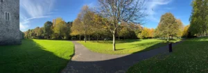
The round tower and square belfry above Swords make a recognisable pair. Put an old illustration beside a modern photograph and the first surprise is not simply what changed. It is how much of a place can remain legible while the way it is pictured changes around it.
Start with the two dates
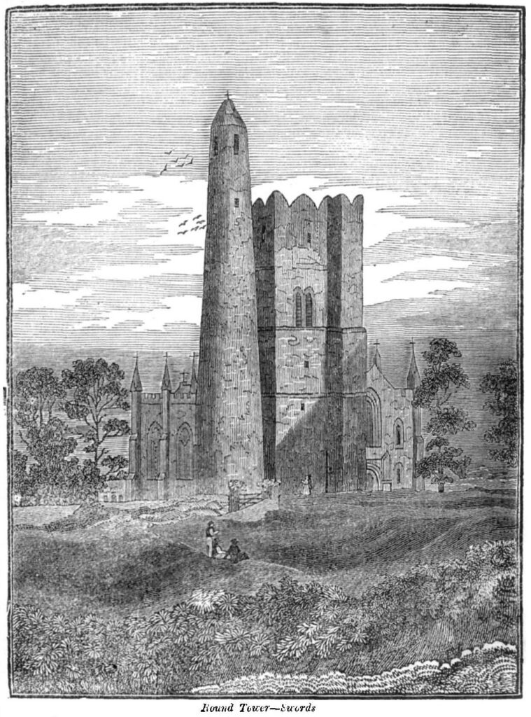
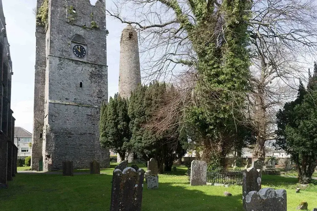
The earlier image is an illustration published in 1832, preserved in a public-domain scan. The later view is a photograph taken by William Murphy on 21 April 2016. Neither is a photograph of the site today. The dates describe the images, not the construction of the buildings.
The viewpoints and framing differ, so this feature switches between the images rather than pretending they align perfectly. An engraving is also an interpretation made by an artist. Its treatment of vegetation, proportions and background should not be read as a measured survey.
Read the landmarks separately
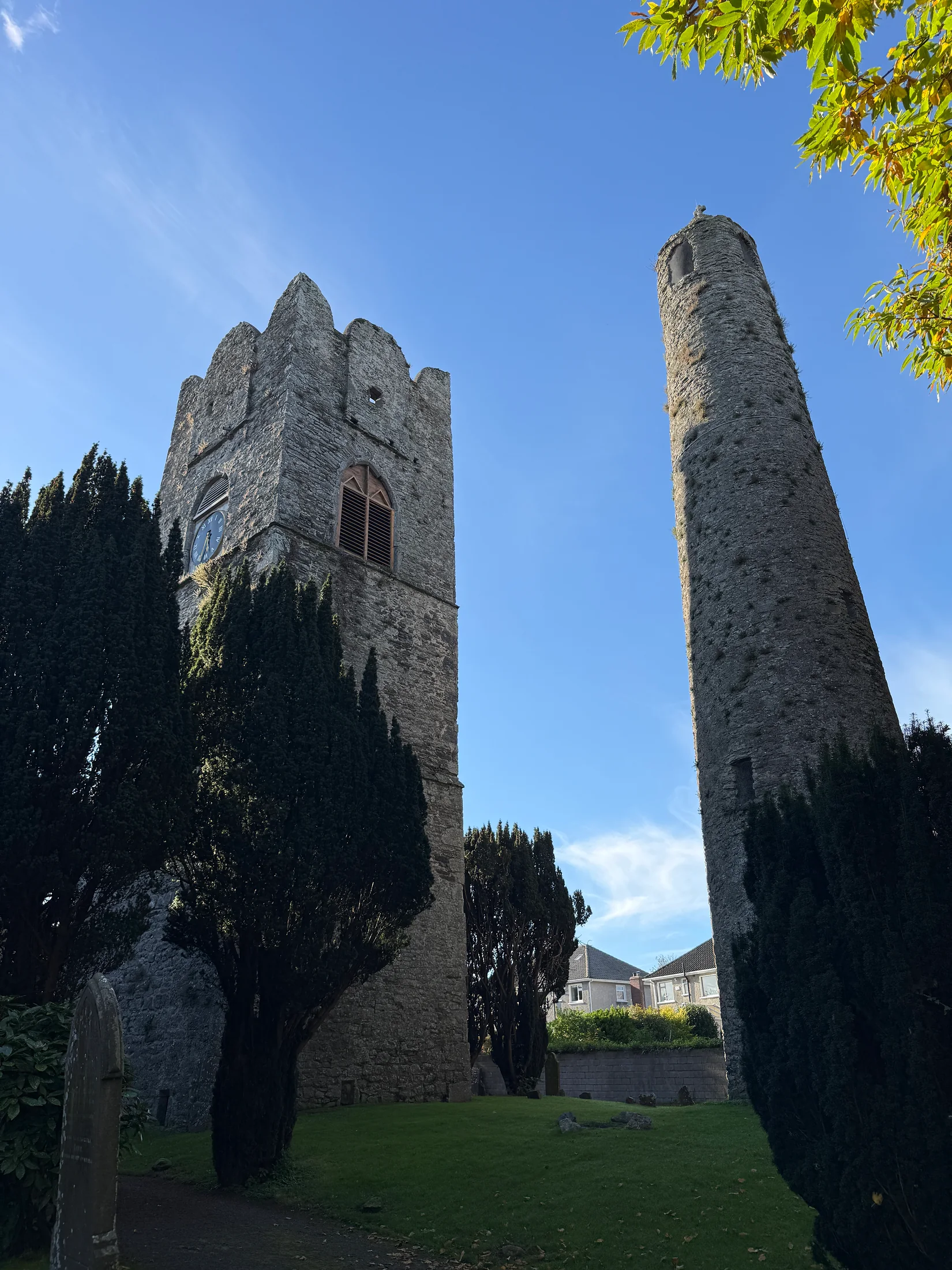
The round tower belongs to the town’s early ecclesiastical history. Beside it, the square belfry survives from a later medieval church. The present St Columba’s church dates from 1811. These are different layers of the site, rather than a single building project.
In each image, identify the cylindrical tower first, then the square belfry. Compare their outline and position relative to one another before looking at the surroundings. This is a more reliable starting point than assuming a path or tree in one image must match something in the other.
What a comparison can — and cannot — tell us
Visible differences may reflect alteration, maintenance, vegetation or the photographer’s position. An object outside the frame has not necessarily disappeared. A feature drawn in 1832 needs supporting evidence before we assign it an exact location or date. Historical images offer clues; maps, architectural records and written sources help test them.
St Columba’s, the towers and the churchyard
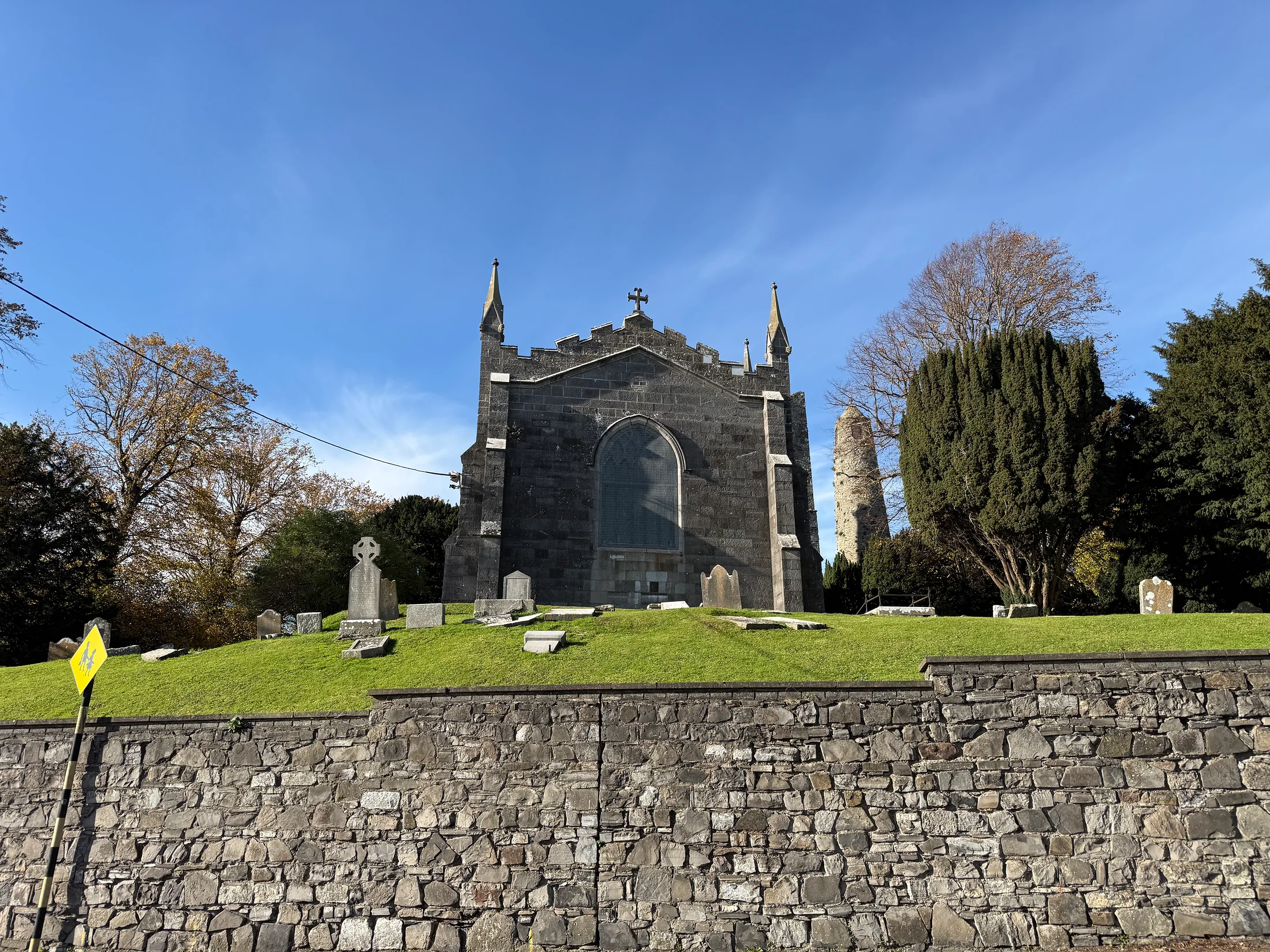
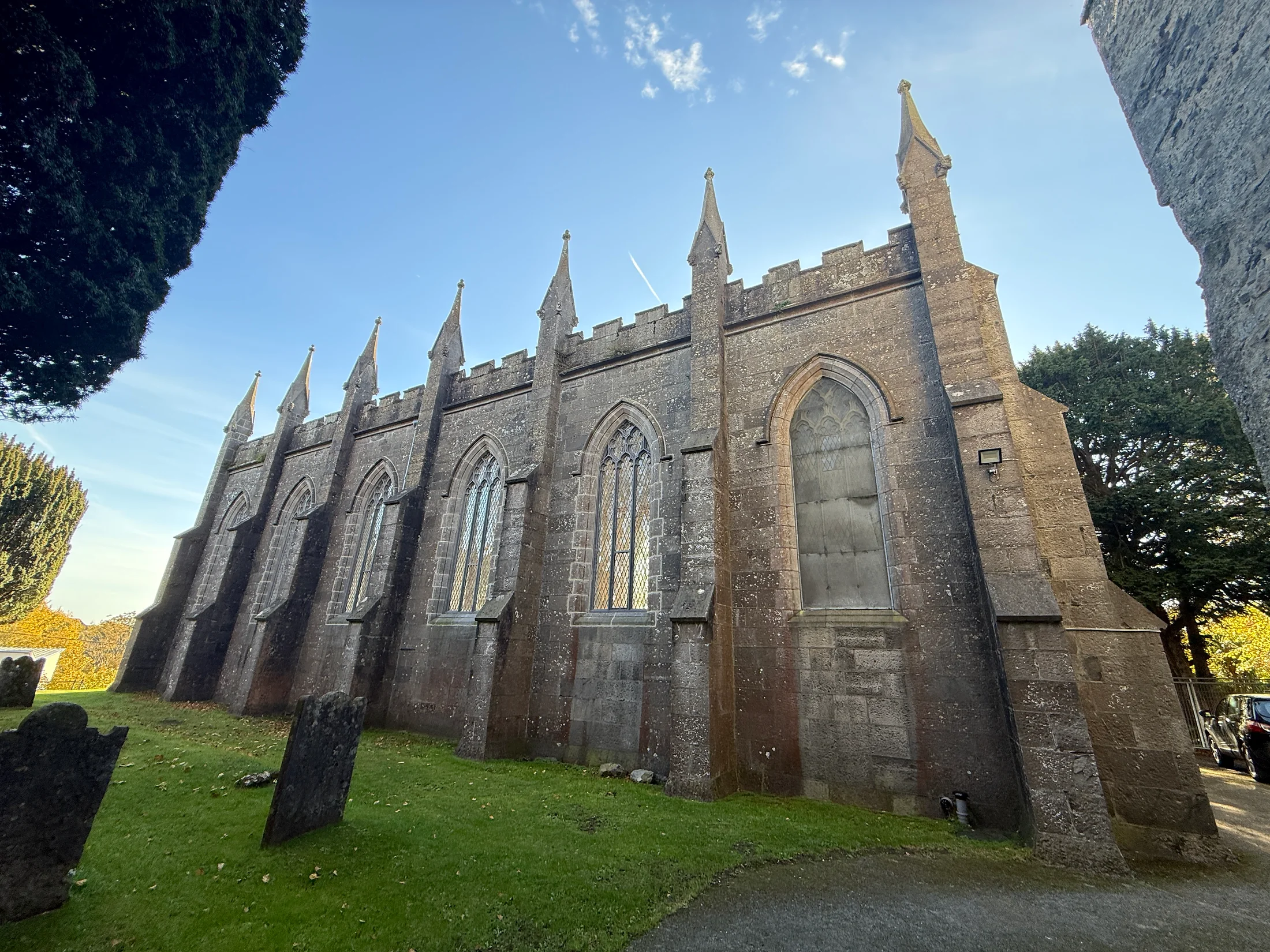
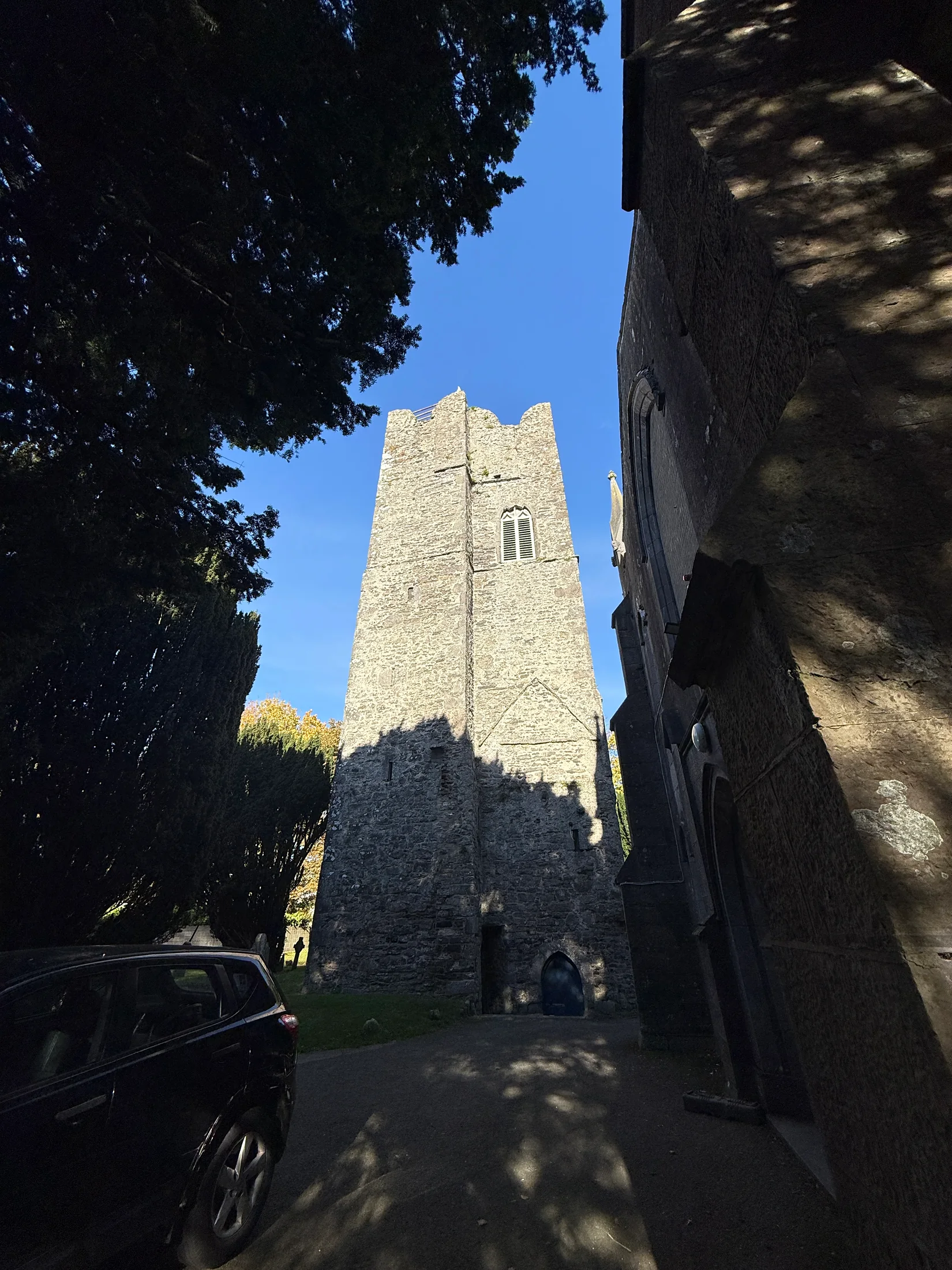
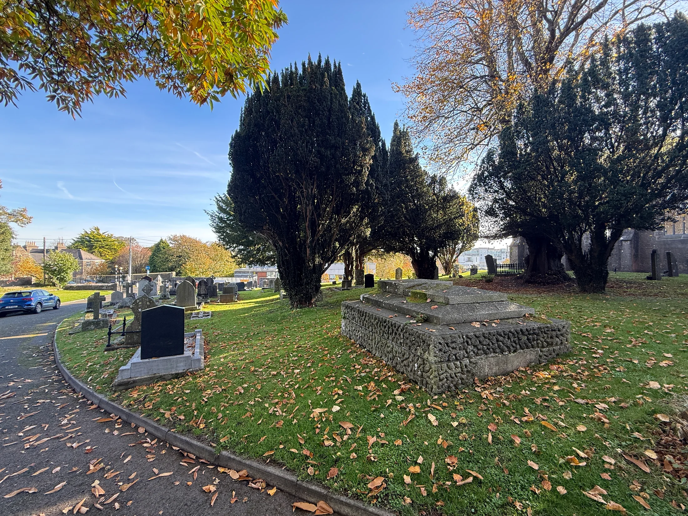
These additional OurSwords photographs were taken on 31 October 2026. They show the church across Church Road, the pair of towers, the side of the church, a view towards the square belfry and the churchyard. They provide more recent views alongside the separately dated 1832 and 2016 comparison above.
Take the story further
Our interactive history timeline places the ecclesiastical site alongside the castle, market town and later growth of Swords. If you visit the area, treat it as a heritage and church setting, respect signs and boundaries, and do not assume the towers can be entered.
Have a family photograph of a Swords street or landmark? Share the story behind it. Include an approximate date, where it was taken, who created it and whether you own the rights or have permission to share it. We can then build future comparisons from traceable material rather than unattributed pictures copied from social media.
Sources & verification
Published information checked 26 October 2026. Original OurSwords guide, supplemented with owner photographs taken on 31 October 2026; no building inspection or interview is claimed. Source dates and current service details may differ.
Keep exploring